
The Norfolk Broads, with its picturesque network of rivers and lakes, offer a unique boating experience. However, navigating these waters requires an understanding of tidal patterns and their impact on your journey. This guide explains how tides work in the Broads, their effects on boating, and how to use tidal information to plan a safe and enjoyable trip.
What Are Tides?
Tides are the periodic rise and fall of sea levels caused by the gravitational pull of the moon and sun. While the Norfolk Broads are primarily inland, tidal effects are still significant, particularly near Great Yarmouth, where the northern and southern rivers converge. Even further inland—around Potter Heigham and Horning—tides can influence boat speed, fuel efficiency, and bridge clearance.
How Tidal Currents Affect Your Boat
At Great Yarmouth, tidal currents can reach 4 mph at mid-tide. Given that the Broads’ speed limit is typically 5 mph, this can have a noticeable impact:
- Boating against the tide requires higher engine power, increasing noise and fuel consumption.
- Boating with the tide allows for smoother, more efficient travel.
Most Broads boats are displacement hulls, meaning their maximum speed is determined by length. Fighting strong tides in areas like the Yare, Waveney, or Bure can be particularly challenging. Plan your route to move with the tide where possible, especially below Acle, Cantley, or Somerleyton, where tidal currents are strongest.
High & Low Tide Variations Across the Broads
Tide times vary depending on location because water takes time to flow in and out of the river systems:
- Northern rivers (Bure, Thurne, Ant) – Narrower and shallower, meaning tides move more slowly.
- Southern rivers (Yare, Waveney) – Wider and deeper, resulting in stronger currents.
Always check local tide tables rather than assuming high/low tide times are the same everywhere.
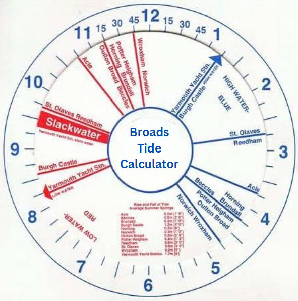
Using the Tide Calculator
A Tide Calculator helps predict water levels at key locations, including the next high and low tides. This is essential for:
- Planning bridge crossings (especially at Potter Heigham and Beccles).
- Avoiding grounding in shallow areas.
- Optimising fuel efficiency by travelling with the tide.
Note: Wind and rainfall can affect actual water levels, so always monitor conditions.
Neap Tides vs. Spring Tides
Tides follow a fortnightly cycle influenced by the moon and sun:
- Spring Tides (around new and full moons) – Higher high tides and lower low tides.
- Best for bridge clearance at low tide, but plan return trips carefully as water levels rise significantly.
- Neap Tides (around half moons) – Smaller tidal range, with less extreme highs and lows.
- Provides more flexibility for navigating low bridges.
Navigating Breydon Water Safely
Breydon Water connects the northern and southern Broads, but crossing requires careful timing:
✔ Best time to cross:
- Slack water (around low tide) – Calmest conditions.
- 1 hour after low tide at Great Yarmouth Yacht Station – Easier mooring and better bridge clearance.
❌ Avoid crossing during:
- High tide – Risk of being unable to pass under bridges.
- Fog or strong winds – Breydon can become rough and hazardous.
Safety Tips for Breydon Water
- Wear life jackets – Essential for all passengers.
- Stay within marked channels – Avoid shallow areas.
- Check conditions with Great Yarmouth Yacht Station (☎ 01493 842794) before departure.
- Summer ranger patrols align with high tide for additional support.
Final Boating Tips
- Plan around tides – Especially for low bridges like Potter Heigham.
- Monitor weather updates – Wind and rain can alter expected water levels.
- Travel with the tide where possible – Saves fuel and reduces engine strain.
By understanding and respecting the tides, you’ll enjoy a smoother, safer, and more efficient boating experience on the Norfolk Broads.
Have questions about tidal boating? Share them in the comments below!
Interactive Map of The Broads
You can easily expand this map to see the various places on the Broads. Click on the + sign in the bottom left corner
IMPORTANT:
Running your engine at a mooring during the day or night is a byelaw offence subject to a maximum fine of £1,000 plus costs. It is particularly frowned on between the hours of 8pm to 8am.